GIS Lessons at Francis Beidler Forest

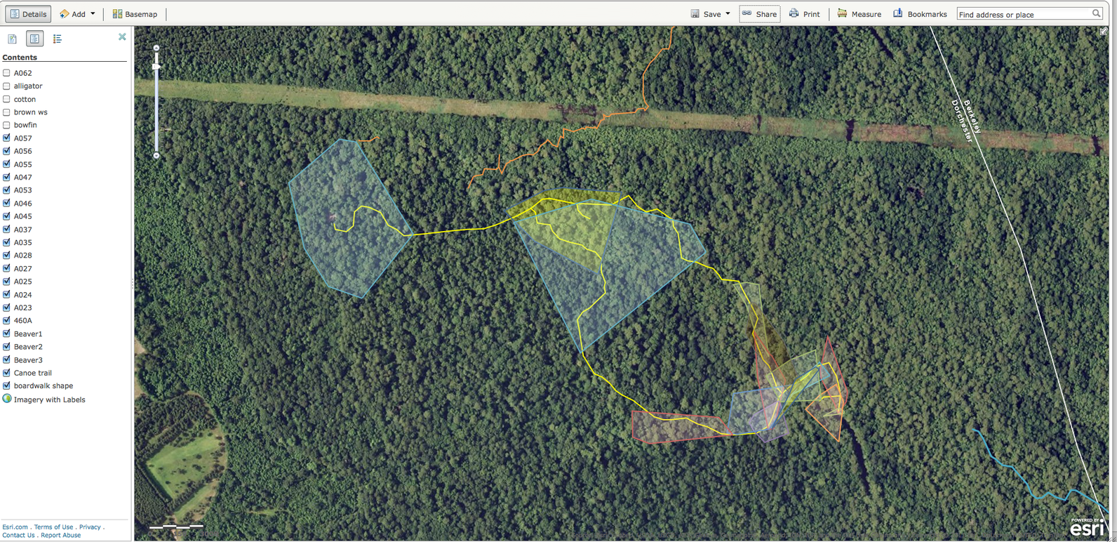
Sample lessons on this page offer teachers and students the opportunity to create their own maps using the ArcGIS Online map-making site and GIS data files from the Audubon Center at the Francis Beidler Forest.
A Geographic Information System (GIS) allows a user to take vast quantities of data and present the data spatially so that relationships between the data can be easily seen. "GIS can be used to understand patterns, linkages, relationships, movement, regions, location, and place, from human systems to physical systems to human-environment interaction. GIS can be used for studying issues at the local level to the regional, national, or global scale." (Dr. Joseph J., Ph.D, ESRI)
"Accelerating globalization means that we can no longer be complacent about increasing the amount of spatial thinking in the educational curriculum at all levels. We're also starting to realize that global issues, such as biodiversity loss, urban sprawl, energy needs, water quality and availability, natural hazards, and human health, are becoming increasingly complex and beginning to affect our everyday lives. Moreover, they all have a spatial component. To grapple with these issues for the 21st century requires a populace that's adept at using GIS and other geotechnologies." (Dr. Joseph J., Ph.D, ESRI)
Sanctuaries
Plan a trip to one of Audubon South Carolina's two wildlife sanctuaries in the state.


